Vínculos

HGMEXICO
Whatsapp (movil) +52 55 64413823
email:
oamexico@yahoo.com.mx
Phone at the office
+52 55 68117772
Adress in Mexico City:
Calle Luna 8 Colonia el Mirador, CDMX, c.p. 09800, Mexico.
Logistic movile whatsapp too.
+52 55 5532705067
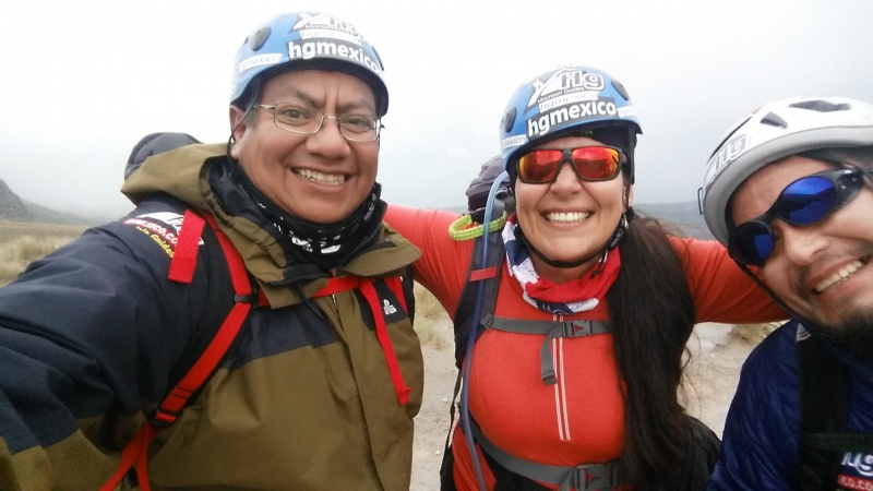
Experience Mexico, outdoors, trekking and climbing with HG Mexico
The best trips trekking and climbing of Pico de Orizaba, Ixtaccihuatl, Nevado de Toluca and more...
Mountain guides in Mexico since 1976.
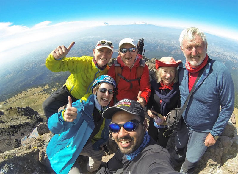
We are your best choice for exploring the Mexican volcanos. We can serve all levels of mountaineering and give you an enjoyable and unforgettable experience. Our mountain guides have the experience and knowledge of the Mexican volcanos to ensure your safe and successful ascent, our first priorities. We have a growing number of happy and satisfied summiteers..come and enjoy the outdoors with us! In addition, we share our culture and history on all of our
trips...so, “Andale, andale!!”
About Us
We are a group of mountain guides with experience in rescues, trekking, high altitude mountaineering, rock climbing and caving. We have shared our mountaineering experiences with other mountain guides from Mexico, Europe, and the United States, and various professional athletes. Above all, we would like to guide you, share our knowledge with you, and embark on an outdoor adventure
Si buscas
hosting web,
dominios web,
correos empresariales o
crear páginas web gratis,
ingresa a
PaginaMX
Por otro lado, si buscas crear códigos qr online ingresa al Creador de Códigos QR más potente que existe


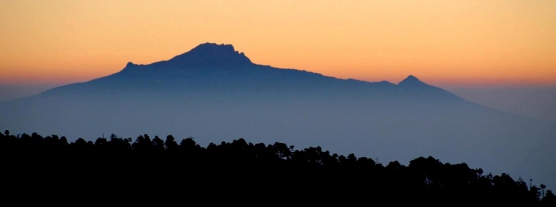
Trekking at Maliche mountain 4,461m. / 14,635 ft
On the southern part of Tlaxcala rises Malinche or Matlacueyetl, which is the name that the inhabitants of ancient Tlaxcala gave to the mother goddess of water. It has an altitude of 4461 masl. and it is the fifth highest mountain in Mexico.
Itinerary Malinche 1 day
Pick you up from Mexico City 2,250m. / 7381ft.
Transfer to Malinche base in "quesadillas" place
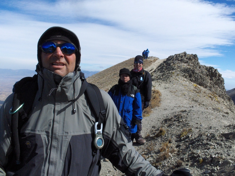
We begin with a walk through a forest, then further on we reach a field of loose rock that ends in a ridge leading to a rock maze after which, lies the summit.
goback to Mexico City
sion transportation tlaxc
Cost in a group of 5 - 11 people: 100 usd per person
Cost in a group of 3 - 4 people: 130 usd each one
Cost: 2 persons 150 usd each one
Cost 1 person 250 usd
Contact Us:
Whatsapp +52 55 64413823
oamexico@yahoo.com.mx
oamexico@yahoo.com.mx
oamexico@hotmail.com
what is Malinche?
La Malinche mountain, also known as Matlalcuéyetl, Matlalcueitl or Malintzin, is an inactive volcano (dormant for the last 3,100 years) located in Tlaxcala and Puebla states, in Mexico. Officially, its summit reaches 4,461 metres (14,636 ft) above sea level, though in some articles it is considered to be 4,503 m (as measured by GPS). Its height makes it the highest peak in Tlaxcala, the fifth highest in Puebla, the sixth highest in Mexico, and the 252nd highest in the world. Its height above nearby cities varies from 1,908 metres above Huamantla, 2461 metres above Villa Vicente Guerrero, 2,221 metres above Tlaxcala to 2,299 metres above Puebla. The summit is 22.4 km from Tlaxcala, 28.3 km from Puebla, and 118 km from Mexico City. The climate is cold on the summit and mild on its lower slopes.
The Tlaxcaltecs named it Matlalcuéyetl, which in English means "Lady of the Green Skirts," a goddess of rain and song. The Spanish changed its name to "Malintzin" and/or "Malinche", in honor of a woman from the current Tabasco state, called Malinalli, who helped the Spanish as an interpreter.

Where is located la Malinche?
Located in the Parque Nacional La Malinche, in the southwest of Tlaxcala state, and at the center of Puebla state, (latitude 19° 05' - 19° 22' N and longitude 97° 53' - 98° 12' W) this volcano is part of the Trans-Mexican Volcanic Belt. The park is, the fifth largest of the 85 parks in México. It covers an area of 458.52 km² (113,304 acres), of which 68.5% belongs to Tlaxcala state and 31.5% to Puebla state. The diameter of the park is approximately 24 km.
what about Legend of Malinche
Another legend about the mountain concerns a reptilian monster that supposedly lived in the mountain and that would come down during the rainy season to abduct children and take them up the mountain to be devoured. Eventually the beast was killed, according to legend, and its head was mounted above the entrance to a house in Puebla that still stands at 201 East Third Street in the historical district of that town


king outdoor adventure hgmexico alpine Malinche malinche moutain guides transportation guides all suport excursions
Copyright mi página Web
![]()
![]()
![]()
![]()
![]()
![]()
![]()
